
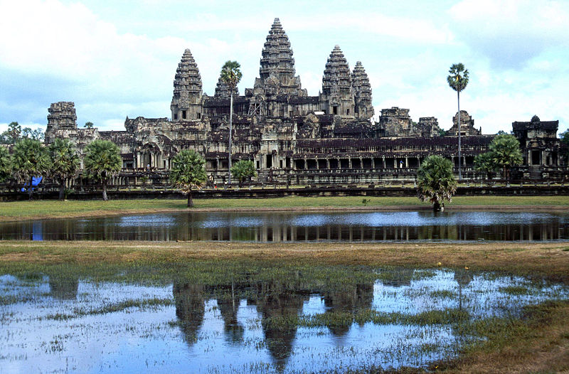
Suryavarman II built Angkor Wat in Siem Reap, Cambodia in the 11th century golden age of the Kmer empire.
Center of the World – Typical for Buddhist architecture, the capital of the empire was built around the Phnom Bahkeng Temple and was intended to be the center of the world. At 100 km² and a million inhabitants, Angkor Wat was one of the largest city’s in the world, and the central complex is one of the largest religious buildings in the world. The people lived in wood huts, as stone structures were built solely for the gods.
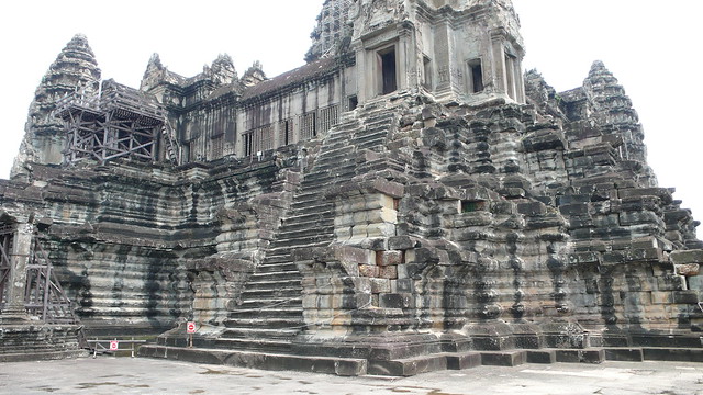
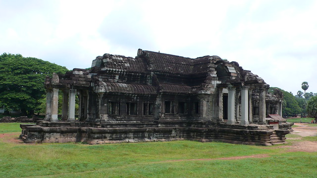
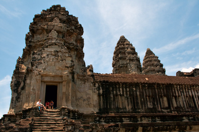
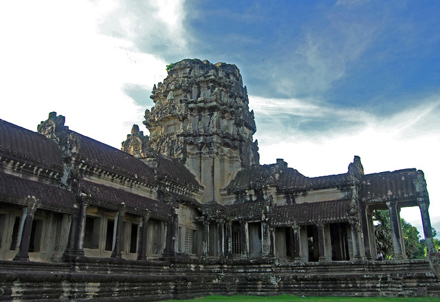
A massive hand-dug moat and 3.5km wall surrounds the looming temple complex. Quincunx spires representing the sacred Mount Meru, the seats of the gods, and galleried temples. Typical for Hindu temples, the square layout maps the universe with centers of knowledge and wisdom spread out inside waters of creation.
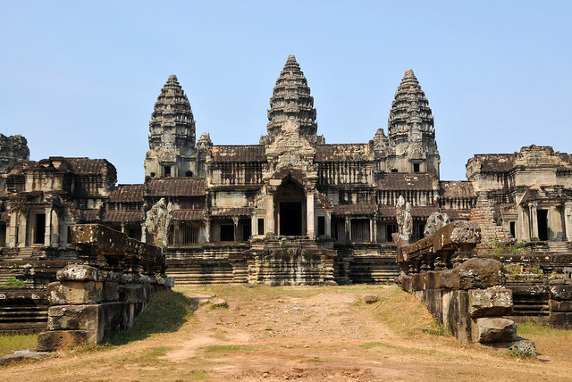
The temple is unusual as it faces West. This, and the procession of relief sculptures in a counterclockwise direction, leads to speculation that it was principally a funerary temple. The pinwheel layout of the entire Angkor area is quite similar to Mayan cities. While the symmetry is not strict, the geometric unity is remarkable on the large scale.
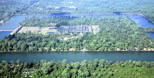
Importance of Waterways – The incredibly vast irrigation network of the Kmer empire can be seen from the air. Slaves hand-carved long canals and enormous throughout the land, which afforded Kmer a substantial advantage for agriculture and transportation. There were three harvests through the year, providing three times the income of normal.
The effort it took to dig this irrigation network can not be understated. The equivalence today, with our modern machinery technoogy, would be aqueducts and train tunnels criss-crossing America’s Rocky Mountains.
Decline Due To Waterways – Political violence and social imbalance led to economic decay in the following centuries. Pressure mounted due to threats of invasion and a surplus of slaves. The invasion of Angkor Wat by Jaya Indravarman IV began a long series of invasions that severely weakened the city’s strength.
The empire could no longer upkeep its vast irrigation network. The degenerated waterways choked agriculture rather than help production. Agriculture was vital for this nation. But the waterways brought something even more damaging: the Black Death. Pestilence from China arrived in boats and ravaged the population.
The city was rediscovered by Bartolomeo de Argensola in 1609, rather late in history. He described:
“…a city of six thousand houses, called Angon. The monuments and roads are made of marble, and are intact. The sculptures are also intact, as if they were modern. There is a strong wall. The moat, stone lined, can admit boats. The bridges are supported by stone giants. Where the canals end, one sees the vestiges of gardens… A learned man supposed these to be the works of Trajan.”
In the 18th century, French explorer Henri Mouhot popularized the city out of obscurity. He spread its fame far and wide, and wrote, “what has become of this powerful race, so civilized, so enlightened, the authors of these gigantic works?
(archer10 (Dennis) (59M Views)– flickr/creative commons license
(jurvetson– flickr/creative commons license)
(cornstaruk– flickr/creative commons license)
(Augapfel– flickr/creative commons license)
(Augapfel– flickr/creative commons license
(Christian Haugen– flickr/creative commons license)
(jenniferphoon– flickr/creative commons license)